Information zu den Fotos (englisch):
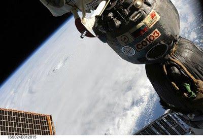
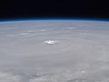
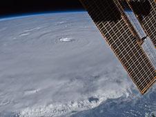
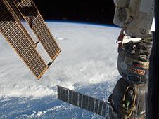
ISS024-E-012920 (30 Aug. 2010) --- Photographed by an Expedition 24 crew member on the International Space Station, this is an oblique view of the eye (just above center frame) of Hurricane Earl (at this time a category 4 but later downgraded to a category 3), centered just north of the Virgin Islands near 19.3 north latitude and 64.7 west longitude packing 115-kilometer winds. The photo was taken with a digital still camera using a 35mm lens.


AKTUELLE WARNSTUFEN AN DER US EASTCOAST (ENGL.):
A HURRICANE WARNING IS IN EFFECT FOR...
* BOGUE INLET NORTH CAROLINA NORTHEASTWARD TO THE NORTH
CAROLINA/VIRGINIA BORDER INCLUDING THE PAMLICO AND ALBEMARLE
SOUNDS.
A HURRICANE WATCH IS IN EFFECT FOR...
* NORTH OF THE NORTH CAROLINA/VIRGINIA BORDER TO CAPE HENLOPEN
DELAWARE.
* WOODS HOLE TO SAGAMORE BEACH MASSACHUSETTS...INCLUDING MARTHAS
VINEYARD AND NANTUCKET.
A TROPICAL STORM WARNING IS IN EFFECT FOR...
* CAPE FEAR TO WEST OF BOGUE INLET NORTH CAROLINA.
* NORTH OF THE NORTH CAROLINA/VIRGINIA BORDER TO SANDY HOOK NEW
JERSEY...INCLUDING DELAWARE BAY SOUTH OF SLAUGHTER BEACH AND THE
CHESAPEAKE BAY SOUTH OF NEW POINT COMFORT.
A TROPICAL STORM WATCH IS IN EFFECT FOR...
* SANDY HOOK NEW JERSEY TO WOODS HOLE MASSACHUSETTS...INCLUDING
BLOCK ISLAND AND LONG ISLAND SOUND.
* NORTH OF SAGAMORE BEACH TO THE MOUTH OF THE MERRIMACK RIVER
MASSACHUSETTS.

